Thursday, October 19, 2023

Hike - Angels Rest, Columbia River Gorge, Oregon

Angels Rest hike with friends
Hiked with friends and Buddy Boy (the dog) to Angels Rest located in the Columbia River Gorge National Scenic Area and Columbia River Gorge. The trailhead is located near Bridal Veil just off the Historic Columbia River Highway about 30 miles east of Vancouver, Washington (my home town). 
Lower section of Angels Rest trail
The first section of the 4.8 mile out-and-back trail was relatively easy and passed through beautiful Douglas-fir forest with an understory of vine maple, sword fern, Oregon grape, thimbleberry, etc. 
Upper Coopey Falls
Upper Coopey Falls
Not far up the trail, we passed a couple waterfalls where there was a small fork in the trail leading to a somewhat precarious viewpoint of the 150-foot Coopey Falls. A little further, the trail crossed Coopey creek on a small footbridge. 
Foot bridge crossing Coopey Creek
It then paralleled the creek for a little way and became steeper with a few switchbacks. At this point, the views became much better, partly because there were fewer trees due to the 1991 Multnomah Falls fire and the 2017 Eagle Creek fire
Looking north towards Columbia River Gorge
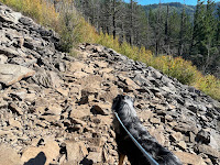
The trail eventually crossed over several talus slopes that required a little agility, especially when hiking with a young energetic dog.
Talus slope near top of Angels Rest trail
Not knowing what to expect further up the trail, we found a somewhat level area where we had a little picnic before our final attempt to reach the summit of Angels Rest. Getting to the top required some rock scrambling and agility. However, the view from the summit was spectacular and well worth the effort.
Looking north from Angels Rest summit

Thursday, October 5, 2023

Hike - Cape Horn, Columbia River Gorge, WA

Steve, Larry, Buddy, Carol, Petrina hiking the Cape Horn trail October 5, 2023
Steve, Larry, Buddy, Carol & Petrina
Hiked the Cape Horn Trail in the Columbia River Gorge National Scenic Area with friends and pooch, Buddy. This was my second time hiking this trail. The first time was ten years ago on October 15, 2013, not long after the trail was first opened. On that hike we did the full loop trail which is approximately 7.5 miles long. On todays hike however, we decided to take a shortcut that began from an unmarked pullout on Highway 14. From the pullout, it was an easy walk to the main trail and saved a few miles of switch backs and steep slopes. 
The trail has three main vista points with amazing views of the Columbia River Gorge. Without a doubt, this is a must-do hike for anyone looking for a memorable and moderately challenging hiking experience in the Pacific Northwest.
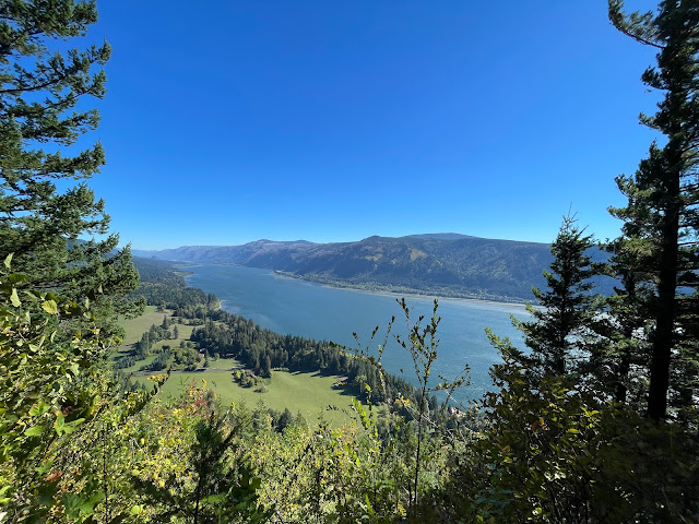
View of the Columbia River Gorge  looking east from the Nancy Russell Overlook on the Cape Horn trail - October 5, 2023
Looking east from Nancy Russell Overlook
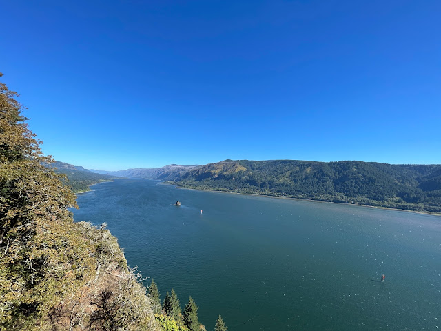
Oak View Overlook on the Cape Horn trail October 5, 2023
Looking east from Oak VIew Overlook
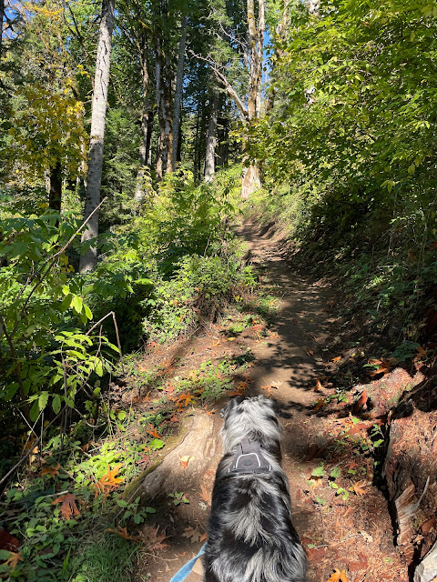
Buddy Boy hiking the Cape Horn Trail - October 5, 2023
Buddy Boy hiking Cape Horn Trail
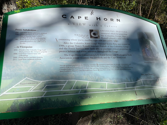
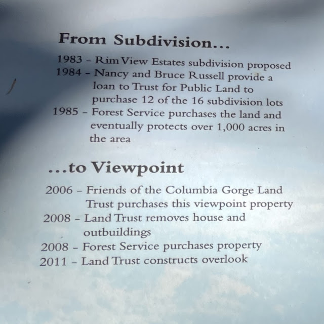
Nancy Russell Overlook Cape Horn trail sign
Nancy Russell Overlook Cape Horn trail sign 
Closeup of Nancy Russell Overlook Cape Horn trail sign